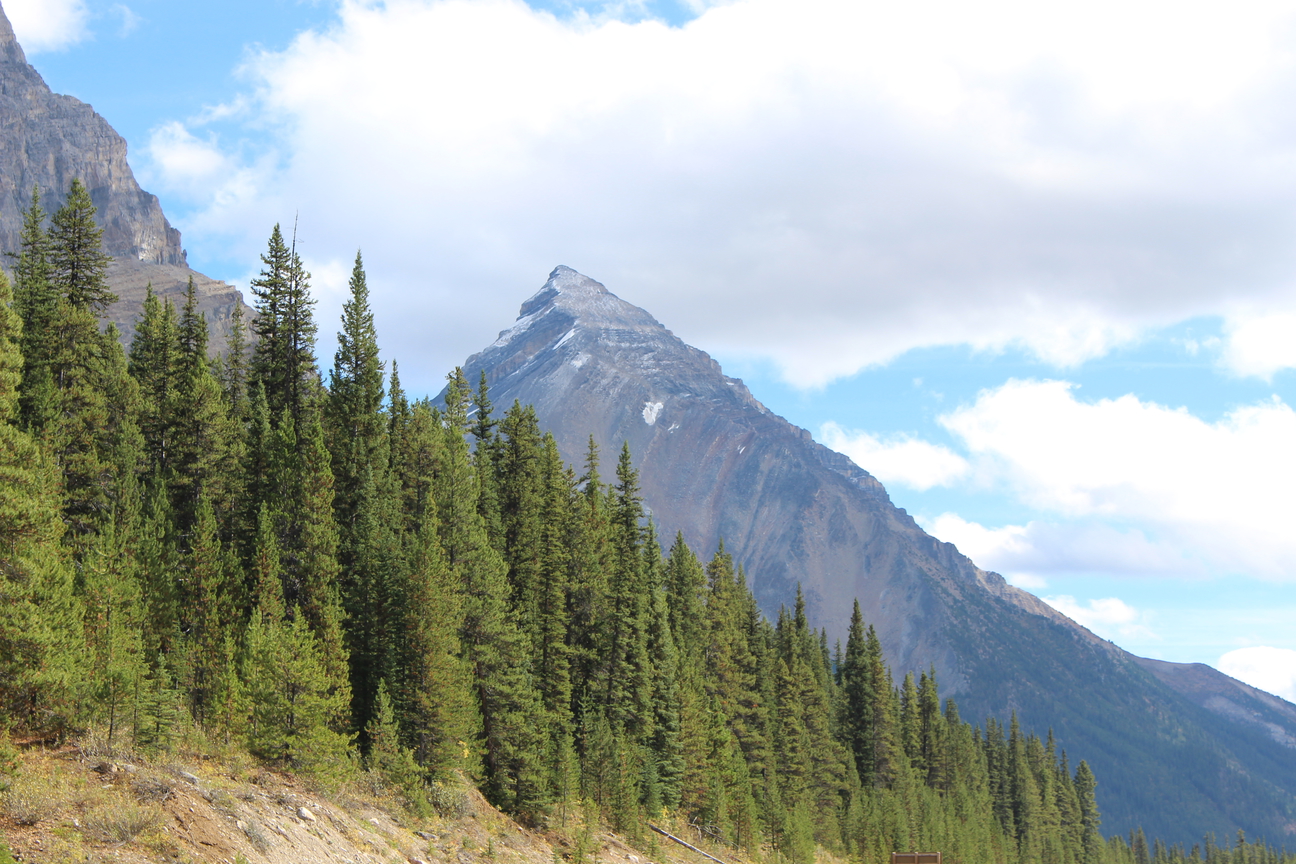
Peaks of the Icefields Parkway – Part 5
“A new world was spread at our feet; to the westward stretched a vast icefield probably never before seen by the human eye, and surrounded by entirely unknown, unnamed, and unclimbed peaks.”
J Norman Collie, 1898
It may be hard to imagine now, but the Columbia Icefield and surrounding peaks have only become accessible within the last century. When J Norman Collie and his climbing companion Hermann Woolley viewed the icefield from the summit of Mount Athabasca in 1898, it was like discovering a whole new world. The area was remote and difficult to reach. There were no roads and no railroads. Fur trade routes and First Nations trails were to the north and to the south. The icefield was in no-man’s land. It’s no wonder Collie believed he and Woolley were first to view the awe-inspiring icefields in 1898.
Since that time, the area has opened to adventurers and explorers and most peaks now have names. Some, in fact, have had several names. This list tells the stories behind the naming of some of the most significant peaks and geographical features along the Icefields Parkway.
Huge thanks to Dave Birrel of www.peakfinder.com for allowing us to borrow content from his amazing website. Please visit this website to find out everything you’d want to know about almost all the Mountains in the Rockies.
This is Part 5 in a series of 6 posts which all together will cover 60 of the most scenic and interesting mountain peaks that you’ll ride past during the tour. Enjoy!
1. Mount Jimmy Simpson 2966m (9730ft)
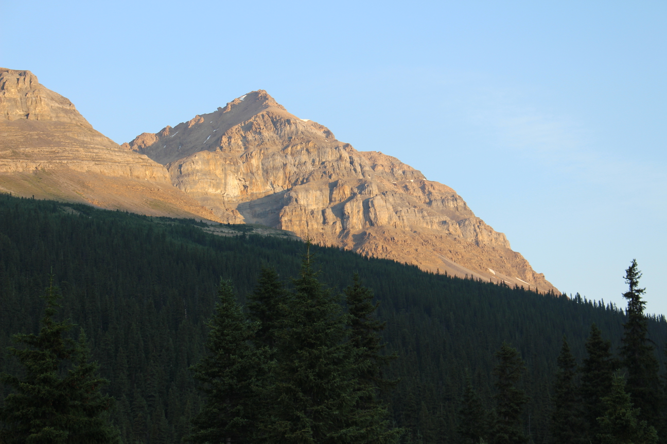
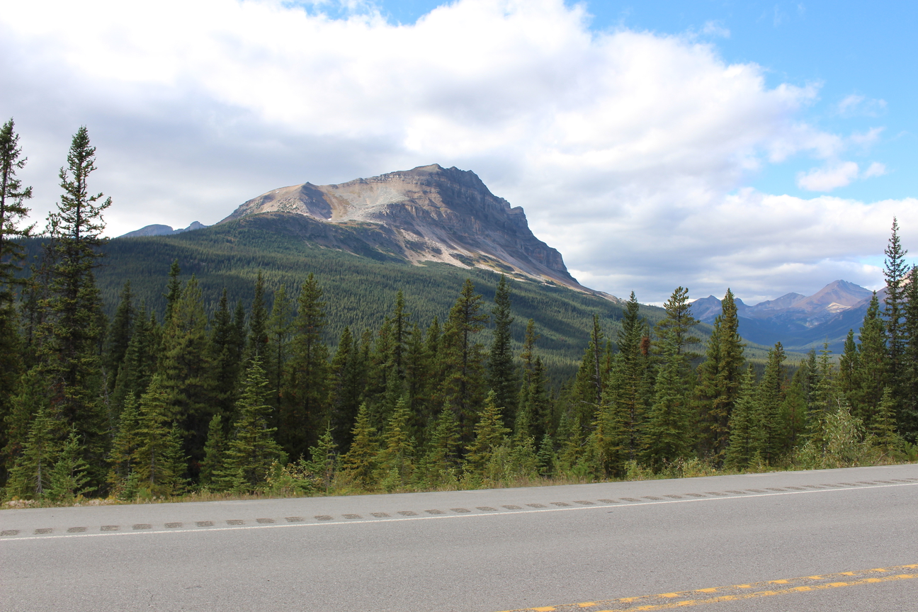
Whilst marvelling at Peyto Lake before you, don’t forget to look behind you at this beauty.
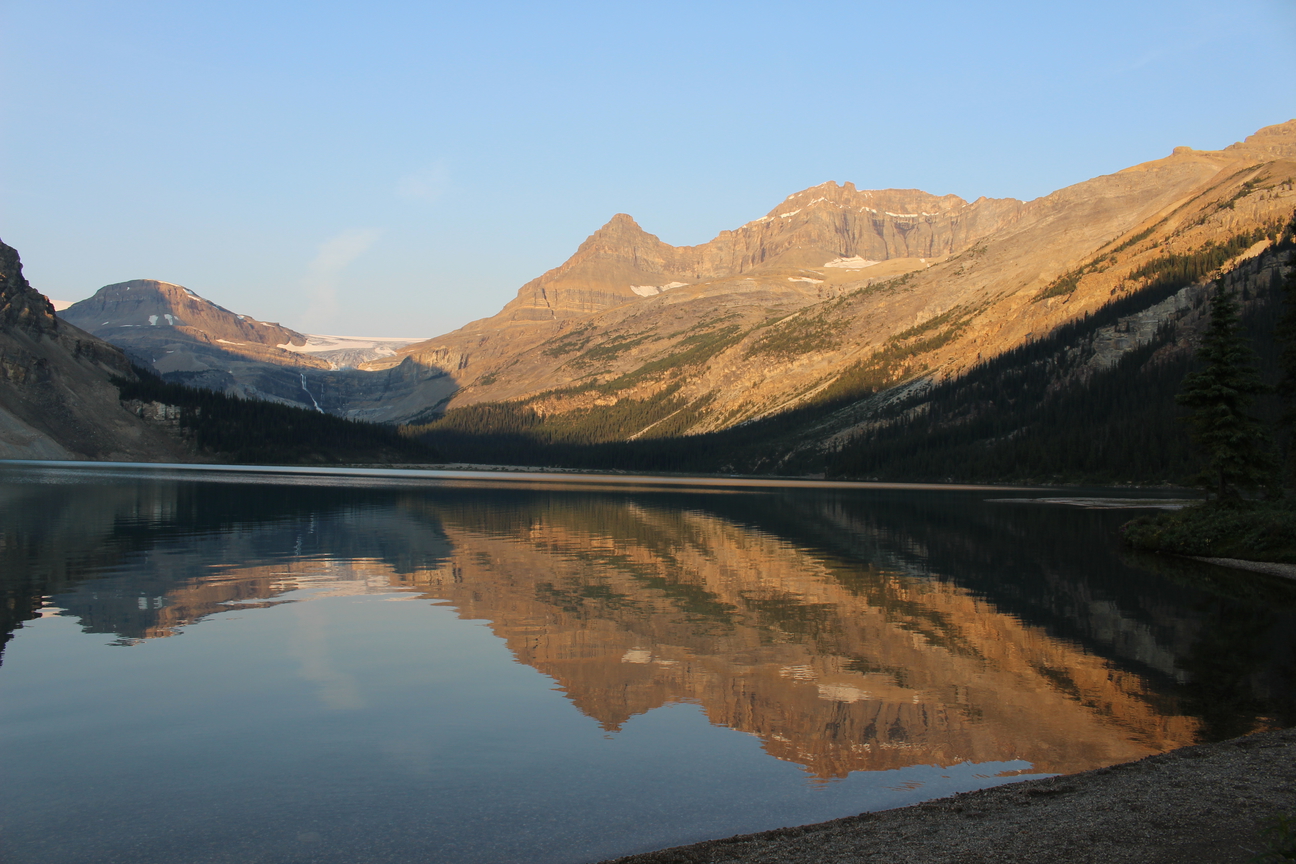
After riding back down to the ice fields parkway from the Peyto Lake view point we’ll descend for 6km to Bow Lake where we’ll have lunch. To the right of the lake and above Simpson’s Num-ti-Jah Lodge is Mount Jimmy Simpson. The red-roofed lodge which sits on the north shore of Bow Lake was built by famed outfitter Jimmy Simpson in 1937.
Simpson came to Canada in 1896 when he was 19 years old. His wealthy family had sent him from Britain in hopes that he would take up farming and cause no further shame and embarrassment to his well-to-do kin. But farming in Manitoba had no attraction for Simpson and he headed west, eventually settling into work as a guide in the Banff area.
He acquired a lease from Parks Canada and built a log cabin on the shore of Bow Lake in 1922. He learned guiding from Bill Peyto and acquired a reputation as a reliable and trust-worthy mountain man.
Just before he turned 40, Simpson married. He and his wife Billie were actively involved in their community. Billie helped organize regular drama performances that were staged in the Simpson family home, and later the Lux Theatre. She also learned to figure skate and offered lessons to children in the area. The Simpson sisters, Mary and Margaret, became popular professional figure skaters who took part in winter carnivals and competitions across North America.vi
Simpson himself was involved in the business community, helping to shape the guiding and outfitting business in the national parks. With mixed feelings, he played an important role in the development of the Icefields Parkway. Simpson lamented the idea that car loads of tourists would speed through the wilderness where he’d so often slept under the stars or snowshoed in solitude. He wrote, “the landscape will hold a blight or a scar that will never heal.” At the same time, he felt it was important to embrace the change.
2. Observation Peak 3174m (10414ft.)
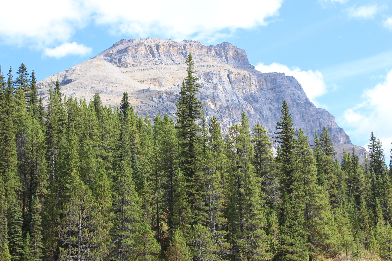
After conquering the big bump (Bow Pass) if it’s a nice day and the weather in co-operating you’ll be stoked to find out that there is an optionally mandatory bonus round in store for you for an extra chocolate pretzel. You’ll have to trust me, you’ll thank me later. At the top of the Bonus round before we check out the Peyto Lake view point make sure you look behind you to catch a view of Observation Peak.
In his book, “The Trail to the Charmed Land,” Ralph Edwards describes the 1899 expedition he undertook with Rev. C.L. Noyes, Rev. Harry P. Nicholls, Charles S. Thompson, and George M. Weed. Wilfrid Beattie was the cook and Edwards, the outfitter and guide.
After leaving the train station at Laggan (now Lake Louise) the group proceeded up the Pipestone River, over Pipestone Pass, down the Siffleur Valley to what is now Dolomite Creek. They then turned west to make the first trip through Dolomite Pass to the upper Bow Valley.
While the packtrain struggled though Dolomite Pass, Thompson and Noyes climbed the mountain. In the book, Edwards indicates that they felt that this was the first ascent of this easily climbed mountain. However Walter Wilcox and Bill Peyto had climbed the mountain four years earlier.
Walter Wilcox wrote of their ascent of the mountain that was later to be named Observation Peak as follows: “The next day I induced Peyto to ascent a mountain with me. He was not used to mountain climbing, and had not been any higher than the ridge that we were compelled to cross when we were walking around Mount Assiniboine, which was less than 9000 feet in altitude. The peak which I had now in view lay just to the northeast from our camp on the (Bow) pass. It appeared to be between 9,000 and 10,000 feet high, and offered no apparent difficulties, on the lower part at least… We found not the slightest difficulty in the ascent till we came near the summit… At an altitude of 9800 feet we came to the summit of the arete which we were climbing, and saw the highest point of the mountain about one-third of a mile distant, and considerably higher. Fortunately, a crest of snow connected the two peaks, and with my ice axe I knocked away the sharp edge, and made a path. In a few minutes we were across the difficult part and found an easy slope rising gradually to the summit… Peyto was overwhelmed with the magnificent panorama, and said that he now appreciated, as never before, the mania which impels men to climb mountains.
3. Mt Thompson 3084m (10119ft.) / Portal Peak 2911m (9550 ft)
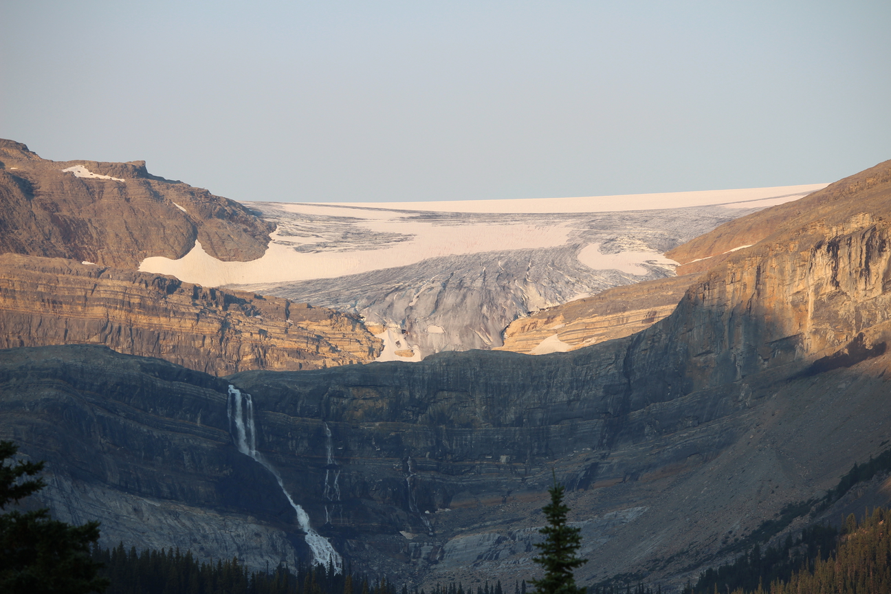
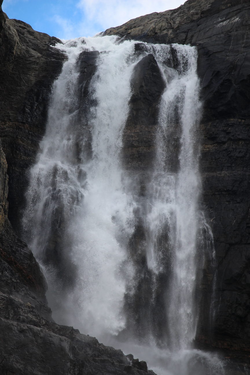
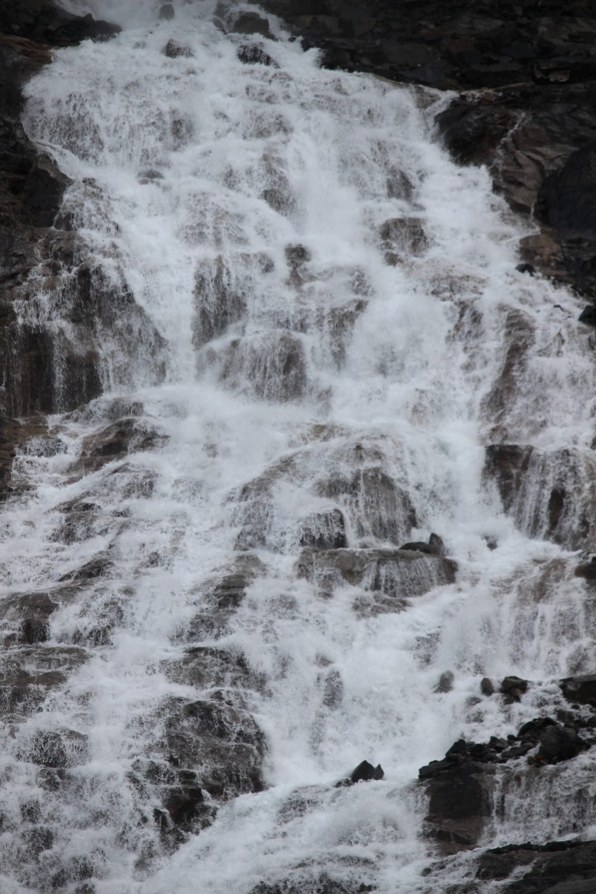
After riding back down to the ice fields parkway from the Peyto Lake view point we’ll descend for 6km to Bow Lake where we’ll have lunch. Beyond Bow Lake the main attraction will be Bow Glacier who’s meltwaters flow over Bow Glacier Falls, a 505ft (154m) tall cliff band that was once covered by the glacier itself. The waters from this glacier and falls then flow into Bow Lake, down the Bow River which travels 587km through Lake Louise, Banff, Canmore, Calgary and eventually empty into Hudson Bay.
The Peigan name for the Bow River means “the river where the bow reeds grow.” The Nakoda used the Bow River for fishing while other First Nations used it to fence in buffalo during hunts.
With the top of the falls situated at an elevation of over 7000 feet above sea level, Bow Glacier Falls exhibits seasonal fluctuations because of the extremely low temperatures during the winter months. The falls may remain frozen solid for 4-5 months on end during the shortest months of the year and may not fully spring back to life until the middle of spring, despite the otherwise significant volume of water which flows from the melting glacier.
To the right of Bow Glacier and Falls is Portal Peak (left) and Mt Thompson (right)
Mt Thompson was named after Charles S. Thompson who climbed extensively in the Canadian Rockies. As well as participating in numerous first ascents, he was in the first party to ascend the Alexandra River and reach the pass that bears his name.
On August 10, 1897 Charles S. Thompson, Hugh Stutfield, and Norman Collie camped on the shores of Bow Lake. The following day they climbed the glacier, which at that time descended farther down into the valley, and crossed the Wapta Icefield to reach the summit of Mount Gordon above the Yoho Valley. From this viewpoint they were surrounded by un-named mountains and took the liberty of naming one of the peaks Mount Thompson, which we are able to see from the Bow Lake Viewpoint. A short time later, after being immortalized by the naming of Mount Thompson, Charles Thompson very nearly became the Canadian Rockies’ second climbing fatality. The story of his brush with death is one of the most exciting incidents in the early years of mountaineering in the Rockies.
Collie described the accident: “Not far from this second summit a huge crevasse partially covered with snow had to be crossed. All the party had passed over but Thompson who unfortunately broke through and at once disappeared headlong into the great crack that ran perpendicularly down into the depths of the glacier… Although Thompson was too far down to be seen, yet he could be heard calling for help and saying that although he was not hurt, he would be extremely grateful to us if we could make haste and extricate him from the awkward position he was in, for he could not move and was almost upside down, jammed between the two opposing sides of the crevasse.”
Collie, being the lightest of the party as well as unmarried, was, “lowered into the gaping hole. On one side the ice fell sheer, and the other it was undercut, but again bulged outwards about eighteen feet below the surface, making the crevasse at that point not much more than two feet wide. Then it widened again, and went down into dim twilight. It was not till I had descended sixty feet, almost the whole available length of an eighty foot rope, that at last I became tightly wedged between the two walls of the crevasse, and was absolutely incapable of moving my body. My feet were close to Thompson’s but his head was further away, and about three feet lower than his heel. Face downwards, and covered with fallen snow, he could not see me. But, after he explained that it was entirely his own fault that he was there, I told him we would have him out in no time. At that moment I must say I hardly expected to be able to accomplish anything. For, jammed between two slippery walls of ice, and only able to move my arms, cudgel my brains as I would, I could not think what was to be done. I shouted for another rope. When it came down I managed to throw one end to Thompson’s left hand, which waved about until he caught it. But when pulled it merely dragged out of his hand. Then with some difficulty I managed to tie a noose on the rope by putting both by hands above my head. With this I lassoed that poor pathetic arm which was the only part of Thompson that could be seen. Then came the tug-of-war. If he refused to move, I could do nothing more to help him; more-over I was afraid that at any moment he might faint. If that occurred I do not believe he could have been got out at all, for the force of the fall had jammed him further down than it was possible to follow. Slowly the rope tightened, as it was cautiously pulled by those above. I could hear may heart thumping in the ghastly stillness of the place, but at last Thompson began to shift, and after some short time he was pulled into an upright position by my side.” From this point Thompson and then Collie were pulled to the surface of the icefield.
Collie continues, “Most marvellously no bones had been broken, but how one could have fallen as he did without being instantaneously killed will always remain a mystery. He must have partially jammed some considerable distance higher up than the point where I found him, for he had a ruck-sack on his back, and this perhaps acted as a brake, as the walls of the crevasse closed in lower down.”
4. Crowfoot Mountain 3050m (10007ft.)
It’s hard to describe the majestic scene from our lunch spot at the Bow Lake Day use area. It’s a little known picnic area away from the crowds where we can sit on the shore of Bow Lake under the towering mass of Crowfoot Mountain. Its a great place to take in the view before the mostly downhill stretch from here to Lake Louise.
Crowfoot Mountain lies to the west and south of Bow Lake, the highest (southernmost) of its three peaks rising above Crowfoot Glacier. The mountain, glacier, and high pass to the west of Bow Peak were not named to honour the great native leader who, trusting in the Royal Northwest Mounted Police, signed Treaty #7. Rather the name’s origin derives from the lower part of the glacier that formerly had the shape of a crow’s foot. A viewpoint south of the southern end of Bow Lake provides an opportunity to see what remains of the crow’s foot. Since the beginning of the twentieth century, this and all the glaciers in the Rockies have receded considerably and the resemblance to a crow’s foot is not as obvious as it was. The viewpoint is also an excellent one from which to admire the wide cliffs below the ridge that leads to the southern summit of Crowfoot Mountain.
5. Bow Peak 2868m (9410ft.)
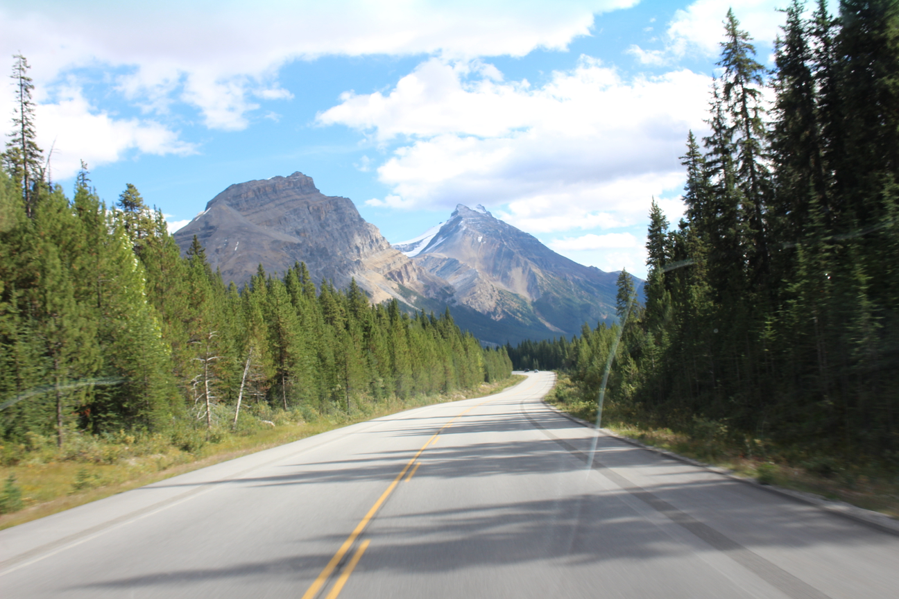
After departing the Bow Lake lunch stop you’ll be treated to mostly downhill trending roads with the exception of a few whoopsies here and there. The great scenery doesn’t end here though. Next on your right you’ll pass by Bow Peak. It’s a long mountain so you’ll be riding next to this one for a while and you’ll see it change in appearance as you witness it from various angles as you ride.
Goat Mountain was the name that James Hector gave to what is now known as Bow Peak. The name also appears on George Dawson‘s 1886 map.
The mountain extends to the east from the main Waputik Range, dividing the basin containing Hector Lake to the south from that containing Bow Lake to the north. Its smoothly contoured western slopes descend into Crowfoot Pass which features beautiful snow patches until well into the summer.
Although not particularly high, the peak is a conspicuous landmark, visible from the Lake Louise area as well as from as far north as the Sunwapta Pass area.
6. Dolomite Peak 2782m (9128ft.)
On your left after leaving Bow Lake you’ll be riding under this beauty for a while. Don’t forget to look back occasionally after passing Dolomite Peak for an even better view of this one.
Named by Charles E. Fay, J. Norman Collie, Dixon; Charles S. Thompson in 1897. The mountain was thought to resemble the Dolomite Range of the Italian Alps.
Dolomite, crystalline carbonate of lime and carbonate of magnesium named for the geologist Dolomieu, are rare in the Rockies. Dolomite is formed when water containing dissolved magnesium seeps into sediments that are largely calcium carbonate. The magnesium then replaces some of the calcium. The resultant rock is stronger and more colourful than limestone. The cliffs of Dolomite Peak are a mixture of limestone and dolomite. The rock has weathered into splintered and jagged crests with slender rock towers. [M.B. Williams]
7. Watermelon Peak 3095m (10,154 ft)
After passing by Dolomite peak on your left you’ll have a cheeky little roller to climb but as you approach the top make sure you look over your shoulder to catch a glimpse of Watermelon Peak directly behind you which lies to the right of Dolomite Peak (as you look downhill).
Watermelon Peak is the high point on the long north south ridge which divides Dolomite Creek from the Siffleur River. Watermelon Peak was first climbed in July of 1966 by David Michael, W.V.G. Matthews, William Putnam, Miss M. Stearns, and L.R. Wallace.
According to Glen Boles in “Place Names of the Canadian Alps,” “David Michael, of Aspen, Colorado . . . helped carry a five kilogram watermelon to the summit. The climbers then proceeded to consume it, despite the inclement weather then prevailing. Putnam, who had bought the item and spelled his friend off on the carry, then submitted this unique name for approval,” but his submission failed to gain official status.
8. Mount Andromache 2996m (9830ft.)
As you start to climb the cheeky roller mentioned in the previous post past Mosquito creek campground and hostel the big mountain in front of you to the left will be this monster.
Named by Alpine Club of Canada in 1948. Andromache was a woman in Greek mythology who was the wife of Hector. This mountain stands to the north of Mount Hector. Unofficial name.
Although the “Climber’s Guide to the Canadian Rockies” lists the first ascent of Mount Andromache to have been recorded in 1940 by C. Cromwell, E. and Mrs. Cromwell, Graeme Pole has published a photograph taken from the summit by James J. McArthur in 1887.
In Greek mythology, the heroine Andromache (Pronunciation: an-dro’-ma’kee) was the daughter of King Eetion of Thebe. She became the wife of the great Trojan hero Hector, and bore him a son named Astyanax.
Andromache played a small but important role in Homer’s Iliad. One of her most memorable appearances in the epic is a poignant scene with her husband Hector. Hector, taking a momentary leave from the bloody battlefield, returns to see his wife and child:
“There his warmhearted lady came to meet him, running; Andromache, whose father, Eetion, once had ruled the land under Mount Plakos, dark with forest, at Thebe under Plakos – lord and king of the Kilikians. Hector was her lord now, head to foot in bronze; and now she joined him. Behind her came the maid, who held the child against her breast, a rosy baby still, Hectorides, the world’s delight, as fresh as a pure shining star. Skamandrios his father named him; other men would say Astyanax, ‘Lord of the Lower Town,’ as Hector singlehandedly guarded Troy. How brilliantly the warrior smiled, in silence, his eyes upon the child! Andromache rested against him, shook away a tear…”
The touching reunion was to be short lived, however. In the course of the Iliad, Hector is killed, and the Greek victors ransack Troy, taking prisoners and mercilessly dispatching their remaining enemies. Andromache and her son are two of the unfortunate victims, for she is taken captive by Neoptolemus (the son of Achilles), while the baby Astyanax is thrown from the towers of Troy.
Andromache survived the horrors of the Trojan war, and as the concubine of Neoptolemus, she bore the Greek hero three sons – Molossus, Pielus, and Pergamus. After the death of Neoptolemus, Andromache married the Trojan seer Helenus.
What would James Hector think of all this I wonder?
9. Mount Hector and Hector Lake 3394m (11136ft.)
Shortly after riding over the cheeky roller mentioned in the last few posts you’ll head downhill again and shortly after you’ll come across the support van parked at the Hector Lake view point on your right. You’ll probably be on a roll so unless we decide to regroup everyone here chances are you’ll fly on by. Although if you’re keen to check out the view please do stop in to say hello.
To your right you’ll see Hector Lake and to your left Mount Hector.
Mount Hector was named by George Dawson in 1884 for the Palliser Expedition’s surgeon/scientist James Hector. Dawson was a Canadian scientist from Nova Scotia. Despite a childhood illness which left him with disabilities, he led a full life. Blessed with a keen intelligence, he distinguished himself as a scientific scholar, studying geology and palaeontology at London. He taught chemistry at Quebec City’s Morrin College and then switched careers to become a surveyor. In 1883 and 1884, he mapped numerous mountains, passes, and rivers in the Canadian Rockies
Philip S. Abbot, who together with Charles Fay and Charles S. Thompson completed the first ascent of the peak in 1895, described the view from the summit as one that, “cannot be matched in any other mountain system in the world except in Asia.”
Of the ascent, Abbot wrote, “Our party that climbed Mount Hector cannot, I am afraid, lay claim to much glory therefrom. We had no hair-breadth escapes; we did not even encounter great hardships, except such as are familiar to every bricklayer’s apprentice. We did not need to exercise great generalship: the mountain was in plain sight, we walked to its base, -some distance, I admit, and not exactly over a paved road, -and then walked until we reached the summit.”
It should be noted that in 1890, James J. McArthur‘s assistant, William Stuart Drewry almost reached the summit of Mount Hector, stopping just below the final ice slope.
One of his professor, James Hutton Balfour (see Mount Balfour), noted his enthusiastic nature, physical stamina, and endurance as well as his capable scientific attributes and recommended him to Sir Roderick Murchison, the president of the Royal Geographic Society (see Mount Murchison), for the position of geologist/naturalist with the Palliser Expedition.
James Hector was a geologist, naturalist, and doctor who accompanied the Palliser Expedition. In August of 1858 the expedition reached the Rockies and at this point Palliser divided his party and Hector was told to explore whatever areas appeared to be, geologically, the most interesting. Hector was delighted to be in an area with cliffs and gorges where the rocks could be studied. His attempts to study geology as the expedition crossed the prairies were frustrated by the thick layer of glacially deposited clay. He spent the remainder of the summer traveling up the Bow River, guided by an educated half-breed guide named Peter Erasmus and a Stoney that they referred to as “Nimrod.” The party left the Bow Valley and travelled through Vermilion Pass (now traversed by Highway #93 to Radium), down the Columbia River to the present day site of Golden, and eastward over the Kicking Horse Pass. At this point the group turned just before reaching what would become Mount Hector, and traveled north past what George Dawson would later name Hector Lake to the headwaters of the Bow River. After traveling down the Mistaya River, Hector reached the North Saskatchewan River and after some explorations in that area traveled down the river eventually reaching Fort Edmonton. The mountain portion of this amazing journey, at a time when there were no trails and when finding food was a significant problem, was completed in only thirty-eight days.
During the following winter he continued his explorations in what is now Jasper National Park, ascending the Athabasca River with the intention of traversing Athabasca Pass. Unfortunately his guide, Tekarra, had injured his foot, and without a guide Hector decided not to attempt the pass. He did, however, travel up the Athabasca to the vicinity of Mount Kerkeslin and Mount Christie before returning to Fort Edmonton.
During the summer of 1859, Hector travelled up the Bow River for a second time, continuing past Castle Mountain, up the Pipestone River, over Pipestone Pass to the Saskatchewan, up the Howse River to the Freshfield Glacier, and over Howse Pass to the Columbia and Kootenay Valleys and eventually to the Pacific.
Mount Hector and Hector Lake were named for Dr. Hector but Kicking Horse Pass was named for a horse who kicked Dr. Hector. As the party was struggling eastward towards the pass, one of the pack horses, in an attempt to escape the fallen timber which made traveling so difficult, plunged into the river. Hector described the events that followed, “…the banks were so steep that we had great difficulty in getting him out. In attempting to re-catch my own horse, which had strayed off while we were engaged with the one in the water, he kicked me in the chest, but I had luckily got close to him before he struck out, so that I did not get the full force of the blow.”
Hector’s guide wrote, “We all leapt from our horses and rushed up to him, but all our attempts to help him recover his senses were of no avail… Dr. Hector must have been unconscious for at least two hours when Sutherland yelled for us to come up; he was now conscious but in great pain. He asked for his kit and directed me to prepare some medicine that would ease the pain.” Hector’s men thought it was appropriate to name the river in honour of the “Kicking Horse” and the pass above was assigned the name as well.
Even without Hector’s injury, the party was having great difficulty finding food and was near starvation. They struggled towards the pass, eating blueberries along the way until they reached Wapta Lake at the summit where they camped and were able to kill a grouse and, “were happy to boil it up with some ends of candles and odd pieces of grease, to make something like a supper for the five of us after a very hard day’s work. The next day a moose was shot and the men began to regain their strength.
James Hector‘s detailed geologic work during his time with the Palliser Expedition resulted in the first description and explanation of the geological structure west of the Great Lakes and formed the basis for future work. George Dawson, himself a scientist renown for detailed work, referred to Hector’s work as providing, “the first really trustworthy general geological map of the interior portion of British North America.” He continued to make significant contributions to geology, particularly in New Zealand, and was knighted in 1887.
Peter Erasmus was Hector’s guide during his time in the Rockies. In his book, “Buffalo Days and Nights,” he describes how Hector was admired by his fellow travellers for more that just his scientific abilities. “Dr. Hector alone of all the men of my experience asked no quarter from any man among us, drivers or guides. He could walk, ride, or tramp snowshoes with the best of our men, and never fell back on his position to soften his share of the hardships, but in fact gloried in his physical ability after a hard day’s run to share in the work of preparing camp for the night, building shelters from the wind, cutting spruce boughs, or even helping get up wood for an all-night fire. He was admired and talked about by every man that travelled with him, and his fame as a traveller was a wonder and a byword among many a teepee that never saw the man.”
Following his time with the Palliser Expedition James Hector became head of the Geologic Survey of New Zealand and was knighted. In 1903 he returned to Canada with his son Douglas, hoping to visit the site where he was kicked by the horse and to cross Kicking Horse Pass by railway.
Mary Schaffer met Dr. Hector at Glacier House in the Selkirks as he was travelling to Kicking Horse Pass. She overheard him mention to the lady behind the desk that he was going to, “his grave.” Mary quotes his explanation to her as follows, “My own saddle pony had anything but a gentle disposition and he hated fording rivers, specially the kind this one was. I was having a good deal of trouble with him at one point, and finally went up behind him with a stick. I saw his heels fly up and then knew nothing more for hours. When I regained consciousness, my grave was dug and they were preparing to put me in it. So that’s how the Kicking-horse got its name and that’s how I came to have a grave in this part of the world.” Schaffer went on to refer to him as, “A delightful old gentleman.”
Sadly, the morning after his conversation with Mary Schaffer Hector’s son became ill. He was diagnosed with appendicitis and taken to hospital in Revelstoke where he died. Hector returned immediately to New Zealand and never returned to the Canadian Rockies.
10. Mount Balfour 3272m (10735ft.)
James Hector named Mount Balfour in 1859 to honour Professor John Hutton Balfour. Dr. Balfour was a botanist as Glasgow University and later became Dean of the Medical school at the University of Edinburgh. It was on Dr. Balfour’s recommendation that Hector became part of the Palliser Expedition.
A massive, glacier draped mountain, Mount Balfour dominates the Waputik Icefield. Its steep east-facing cliffs overlook the upper Yoho Valley.
The name “Balfour” was originally applied by James Hector to a peak between the Mistaya and Blaeberry Rivers, and it is possible that the present day Mount Chephren or Howse Peak was the one he had in mind.
Whether one approaches on the Trans-Canada Highway from the east or the west, Mount Balfour is the first peak on the Continental Divide which is seen.
John Hutton Balfour attended the University of Edinburgh where he obtained his medical doctorate in 1831. He subsequently commenced medical practice, but in 1840 began giving lectures in botany and in 1841 was appointed professor of botany at the University of Glasgow. In 1845 he becoming head of the Royal Botanical Garden and Queen’s botanist for Scotland. For 30 years John Hutton Balfor was dean of the medical faculty in Edinburgh, where he first introduced teaching in microscopy.

